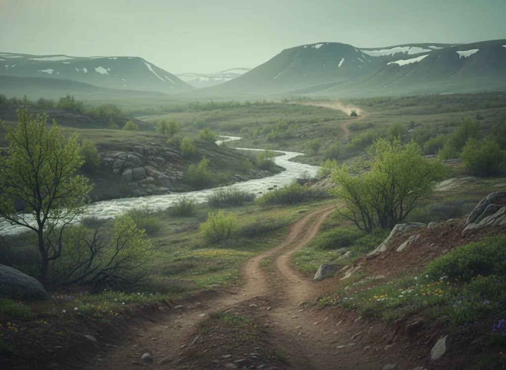
Cedar Lake OHV Area is a Forest Service-managed off-highway vehicle trail system in the Ouachita National Forest's Fourche Ranger District, situated in Yell County in the northern transition zone of the Arkansas Ouachita Mountains, the belt of terrain where the Ouachita fold structure gives way to the Arkansas River Valley to the north and the landscape transitions from the high ridge-and-hollow mountain terrain to the lower plateau country of the Ouachita front. Yell County and the Danville area represent the most accessible edge of the Ouachita system from Little Rock and Conway, the eastern Arkansas population corridor, making Cedar Lake a closer OHV alternative to the deeper mountain parks for riders who want Ouachita terrain without the longer drive to Wolf Pen Gap or the Crystal Springs area. Cedar Lake itself is a Forest Service reservoir on the Fourche LaFave River headwaters, providing a campground and recreation focal point for the surrounding OHV trail network that threads through the Yell County ridges on the Ouachita's northern face. The terrain at Cedar Lake is northern Ouachita character: the shortleaf pine and oak forest of the ridge-top terrain above the Fourche LaFave drainage, with the characteristic east-west fold orientation of the Ouachita system visible in the parallel ridge crests that the OHV routes traverse. The northern face of the Ouachita system in Yell County receives somewhat more moisture than the drier southern slopes, and the forest transitions to mixed oak-hickory on the moister north-facing coves that border the OHV trail corridors. ATVs, UTVs, and off-highway motorcycles on designated routes. Fourche Ranger District at Danville (479-495-2844) manages current OHV trail conditions.
Hours
Open year-round on designated OHV routes. No day-use fee on National Forest land. Trails may temporarily close during wet conditions.
Phone
479-495-2844Trip openings, seasonal updates, and the occasional deal, straight to your inbox.
FAQ
Everything you need to know before you get started.
Have a question, or ready to book? Reach out and we’ll get right back to you.